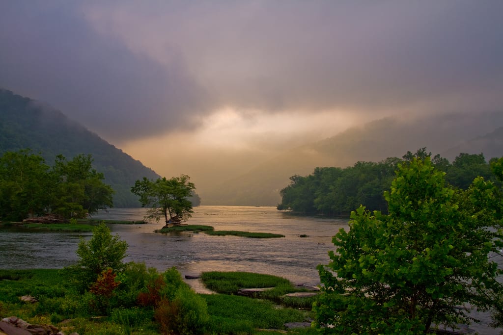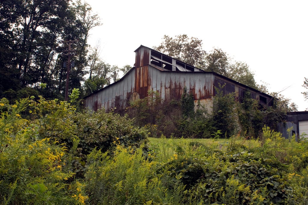

West Virginia is a particularly beautiful region of the United States being situated within the Appalachians and home to rolling hills and sweeping valleys full of fertile soil. There are also numerous lakes and rivers, full of opportunities to boat or fish, and there is a sense of history in how the past is preserved alongside the forward movement of the present. With so much to see and do, try one of our favorite West Virginia scenic drives as a starting point in getting to know the area, saving the time of pouring over guidebooks and meticulous planning for actually experiencing all this region has to offer:
No. 10 – Northwestern Turnpike

Starting Location: Clarksburg, WV
Ending Location: Aurora, WV
Length: 81 miles
Best Season to Drive: Spring, Summer, and Fall
See this drive on Google Maps
Despite the name of this route, travelers along this way no longer have to pay tolls, and a boating or hiking excursion in Tygart Lake State Park is a good start to the trip. In Grafton, stop to visit the gravesite of the first Civil War casualty in the national cemetery. Once in Cathedral State Park, the 500-year-old Centennial Eastern Hemlock – possibly the oldest tree of its kind on the east coast – is a must-see for its magnificent beauty.
No. 9 – Lower Greenbrier River Byway

Starting Location: Sandstone, WV
Ending Location: Alderson, WV
Length: 33 miles
Best Season to Drive: All
See this drive on Google Maps
Twisting and turning with the Lower Greenbrier River, this drive is full of water recreational opportunities, but it’s also rich in historical significance. Railroad enthusiasts may enjoy a visit to the restored Chesapeake & Ohio Railroad Depot in Alderson, and the 1770s Graham House in Lowell is one of the oldest homes in West Virginia. Lastly, stop to see Talcott's John Henry Monument, which honors Henry’s epic victory over the steam-powered drill.
No. 8 – Staunton-Parkersburg Turnpike

Starting Location: Buckhannon, WV
Ending Location: Bartow, WV
Length: 73 miles
Best Season to Drive: Spring, Summer, and Fall
See this drive on Google Maps
This turnpike established in 1831 follows old Indian trails and passes by an array of significant markers from the Civil War. Stop at Blennerhassett Island State Historical Park near Parkersburg to see how power couple Harman and Margaret Blennerhassett lived in the early 1800s. Then, be transported back to modern day times with a visit to the National Radio Astronomy Observatory, which houses one of the largest radio telescopes around, in Green Bank.
No. 7 – Old Route 7

Starting Location: Star City, WV
Ending Location: Terra Alta, WV
Length: 44 miles
Best Season to Drive: All
See this drive on Google Maps
Begin your trip by witnessing an age-old art in motion at the Gentile Glass Company in Star City, where artisans create glass-blown creations right before your eyes. In Arthurdale, the first New Deal Community, stop at the New Deal Homestead Museum to learn more about this period of history and how it affected day-to-day life. Finally, in Terra Alta, play a few holes on the well-landscaped golf course or try your luck at cross-country skiing in the winter months.
No. 6 – Farm Heritage Road

Starting Location: Shady Spring, WV
Ending Location: Sweet Springs, WV
Length: 71 miles
Best Season to Drive: All
See this drive on Google Maps
The pastoral views along the Farm Heritage Trail make a lasting impression with the Appalachian Mountains visible from afar and charming farms nestled in rolling hills. This drive is more about taking in the natural beauty all around and seeing picturesque farms that have often been in place for up to 200 years than it is about sightseeing. Hanging Rock Tower is a notable exception, however, for its numerous hawks and small bald eagle population.
No. 5 – Coal Heritage Trail

Starting Location: Bluefield, WV
Ending Location: Ansted, WV
Length: 99 miles
Best Season to Drive: All
See this drive on Google Maps
While coal mining may not sound so glamorous, it was an important part of West Virginia history, having gathered thousands of men worldwide in search of fortune. Experience a bit of that first-hand with a tour of the Beckley Exhibition Coal Mine, where visitors can ride rail cars and see the tools of the trade up close. Once you emerge from the mine back into the light of day, spend some time on the River Gorge National River, known for its prime whitewater rafting.
No.4 – Little Kanawha Byway

Starting Location: Mineral Wells, WV
Ending Location: Burnsville, WV
Length: 79 miles
Best Season to Drive: All
See this drive on Google Maps
This lovely route along the Little Kanawha River offers plenty of pastoral views of sweeping farmlands and rolling hills. Stop in Parkersburg to learn a bit about the region’s oil history at the Parkersburg Oil & Gas Museum. Then, make your way to the 18,000-acre Burnsville Lake Wildlife Management Area, where camping is available and the fish are plentiful.
No. 3 – Midland Trail

Starting Location: Caldwell, WV
Ending Location: Huntington, WV
Length: 172 miles
Best Season to Drive: All
See this drive on Google Maps
Long ago, this route was traversed by herds of buffalo instead of darting cars, but the civilization that has grown in this region provides a wealth of things to see and do as well as areas of little-touched natural splendor. Travelers of all ages will enjoy a stop in Huntington’s Camden Park, which is home to an old-fashioned roller coaster made of wood and other fun rides. When in Charleston, peek at the State Capitol building, which showcases marble columns and a gold-leaf dome.
No. 2 – Washington Heritage Trail

Starting Location: Harpers Ferry, WV
Ending Location: Paw Paw, WV
Length: 66 miles
Best Season to Drive: All
See this drive on Google Maps
Commemorating our first president’s affinity for the area, the Washington Heritage Trail also highlights other momentous events from our nation’s past. For instance, Harper’s Ferry National Historic Park stands where John Brown bravely tried to arm slaves with weapons from the federal arsenal. For a more enlivened time to leave serious subjects behind, try your luck with the ponies or slots in Charles Town.
No. 1 – Highland Scenic Highway

Starting Location: Richwood, WV
Ending Location: Marlinton, WV
Length: 52 miles
Best Season to Drive: Spring, Summer, and Fall
See this drive on Google Maps
With vast changes in elevation – up to 4,500 feet above sea level – and no shortage of panoramic views from the Allegheny Mountains within the Monongahela National Forest, this highway passes through some of the most striking parts of West Virginia. Take a stroll on the boardwalk of the Cranberry Glades Botanical area to see the flora and fauna of the wetlands and bogs there. Cass Scenic Railroad State Park offers a variety of tours from those showcasing fall foliage to mystery dinner theatre rides.


