Maryland may be a small state, but it’s big on diversity. From the mountains in the west to the Atlantic Ocean in the east, the terrain and sights are varied enough to keep even the most weary traveler alert. Historic sites relating to the Civil War era abound, and there are several pristine state parks to bring visitors closer to Mother Nature. Discover for yourself what Maryland has to offer, and travel one of our favorite scenic routes:
No. 10 – Blue Crab Scenic Byway

Starting Location: Princess Anne, MD
Ending Location: Ocean City, MD
Length: 43 miles
Best Season to Drive: All
See this drive on Google Maps
Water lovers will delight on this trip with plenty of places to access both the Chesapeake Bay and the Atlantic Ocean. Stop for lunch in Crisfield, the “Crab Capital of the World,” then take the ferry from there to the middle of the bay on Smith Island. Once in Ocean City, be sure to take photos on the boardwalk and treat any youngsters with you to an amusement ride.
No. 9 – Roots and Tides Scenic Byway

Starting Location: Huntingtown, MD
Ending Location: Annapolis, MD
Length: 41 miles
Best Season to Drive: All
See this drive on Google Maps
This scenic drive along the Chesapeake Bay affords plenty of waterfront views and the opportunity to spy local waterfowl. Browse the many antique shops in North Beach for hidden treasures or check out the Chesapeake Railroad Station, which is now a railway museum. Once in Annapolis, explore the many historic buildings from the 18th century in the state’s capital.
No. 8 – Falls Road
Starting Location: Baltimore, MD
Ending Location: Alesia, MD
Length: 38 miles
Best Season to Drive: All
See this drive on Google Maps
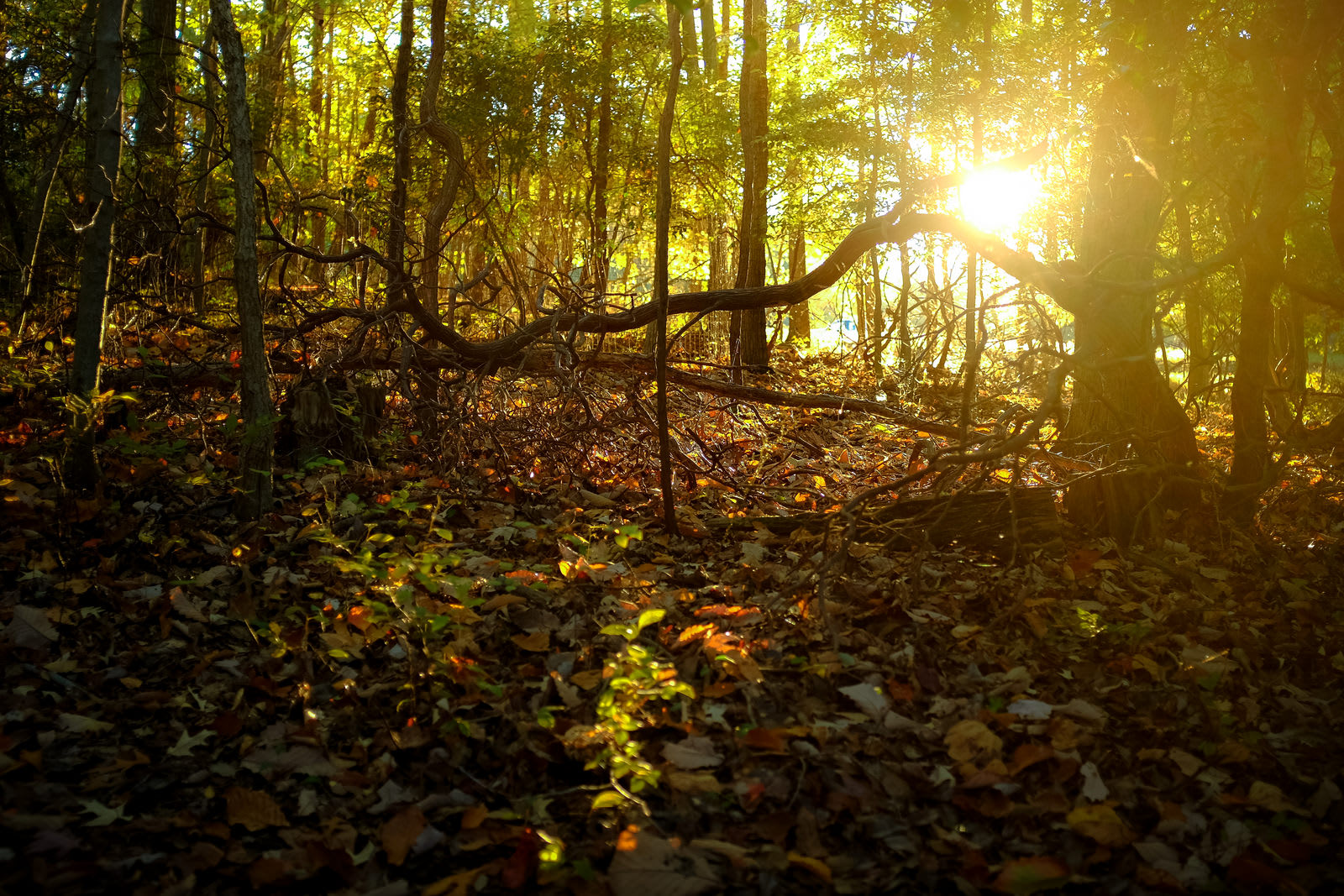
With a mix of country and city sites along the way, this scenic route provides a peek at the diversity present in the area. Travelers should stop at the The Cloisters, a historic mansion built in 1932 using an unusual stone-laying technique, for photos. Afterwards, the hiking paths and overlooks at Gunpowder Falls State Park facilitate a more intimate bond with nature.
No. 7 – Catoctin Mountain Region

Starting Location: Point of Rocks, MD
Ending Location: Emmitsburg, MD
Length: 66 miles
Best Season to Drive: Spring, Summer, and Fall
See this drive on Google Maps
Part of the Journey through Hallowed Ground Byway, this trip passes through the Catoctin Mountain region of the state. Stop at Cunningham Falls State Park to see the natural beauty of the region up close, or have a picnic. Afterwards, drive by Camp David Presidential retreat and the mountain resort of Pen Mar.
No. 6 – Mason and Dixon Scenic Byway
Starting Location: Emmitsburg, MD
Ending Location: Appleton, MD
Length: 102 miles
Best Season to Drive: All
See this drive on Google Maps
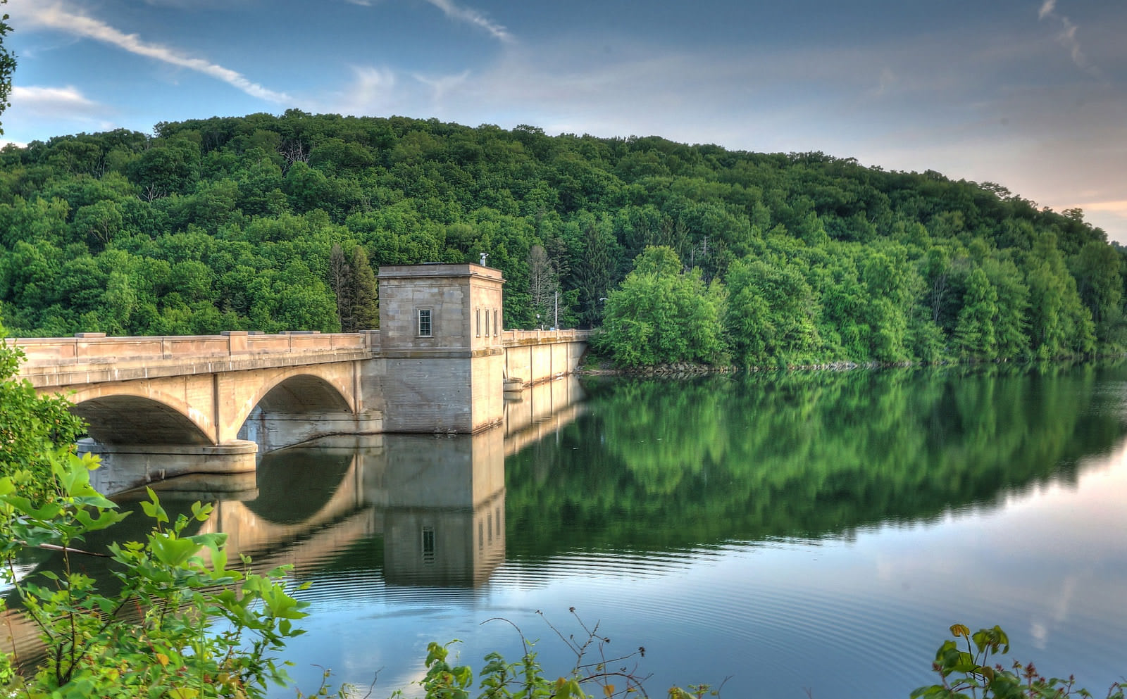
Running along the northern border of Maryland and where the Mason/Dixon line once was, this route goes through largely unpopulated and rural portions of the state. Stop at the Prettyboy Reservoir between Manchester and White Hall for water fun such as catching fish and taking a dip in the warmer months. For those wanting to stretch their legs on a hike, the best opportunity is at Rocks State Park in Harkin.
No. 5 – Old Main Streets
Starting Location: Emmitsburg, MD
Ending Location: Mount Airy, MD
Length: 84 miles
Best Season to Drive: All
See this drive on Google Maps
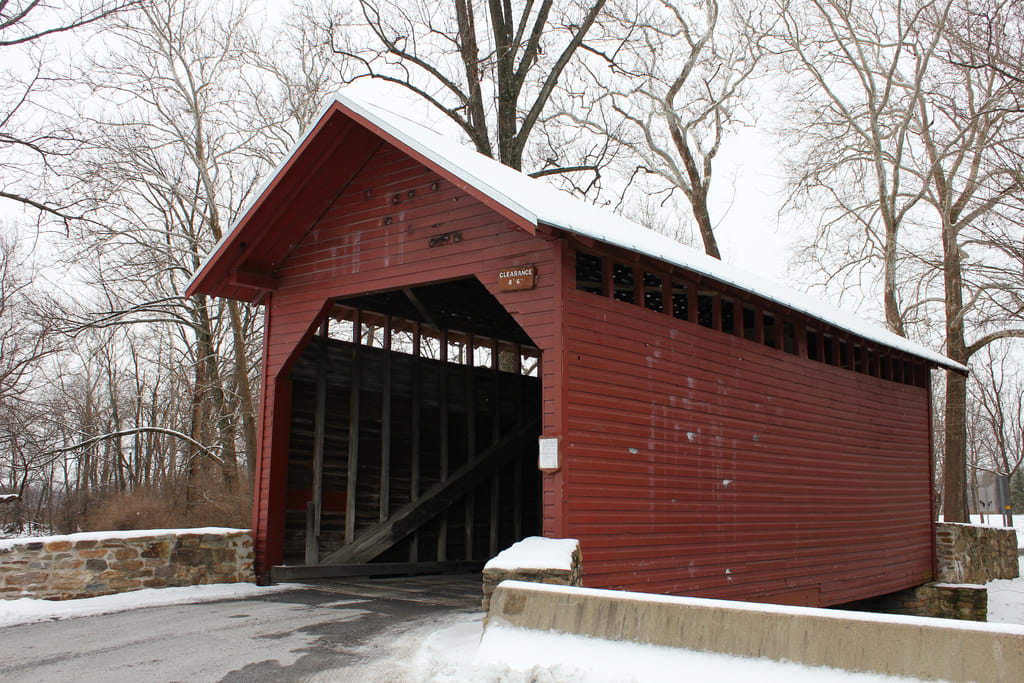
This winding scenic route takes travelers through a rural tour of the state, passing by farmlands and old Victorian-styled buildings in quaint towns. Thurmont is home to several covered bridges, which provide exquisite photo opportunities. In Libertytown, there are several vineyards to explore, and outdoorsy types may enjoy recreational activities such as hiking and fishing where the route ends in Mount Airy.
No. 4 – Antietam Campaign

Starting Location: White’s Ferry, MD
Ending Location: Sharpsburg, MD
Length: 92 miles
Best Season to Drive: All
See this drive on Google Maps
History buffs are likely to enjoy this route with all of the Civil War historic markers, most specifically the Battle of Antietam, the bloodiest day of the war. It begins in White’s Ferry, which is where General Lee entered Maryland from Virginia, and it ends in Sharpsburg near where the actual battle took place. The region is also full of panoramic views travelers don’t have to study up on to enjoy.
No. 3 – Historic National Road

Starting Location: Keysers Ridge, MD
Ending Location: Baltimore, MD
Length: 183 miles
Best Season to Drive: All
See this drive on Google Maps
This drive follows part of the historic route that once connected Baltimore to Vandalia, Illinois and was known as the National Road. Those traveling this way can easily turn it into a weekend trip because sites of historic interest are peppered all along the byway, including the La Vale Tollgate House and the National Museum of Civil War Medicine in Frederick. Nature lovers won’t be disappointed either with plenty of scenic overlooks in places like Rocky Gap State Park and Mount Airy.
No. 2 – Chesapeake and Ohio Canal
Starting Location: Cumberland, MD
Ending Location: Hancock, MD
Length: 57 miles
Best Season to Drive: All
See this drive on Google Maps
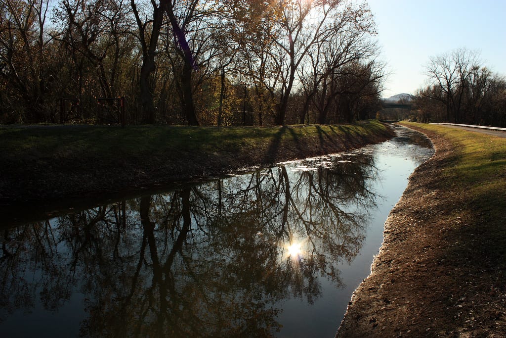
This portion of the route between Cumberland and Hancock skirts the border between Maryland and West Virginia, dipping in and out of the two states and along the edge of the Green Ridge Forest. It also crosses the North Branch Potomac River, which may be of interest to any anglers present. At the end of this trip, travelers can stop to learn more about the area in Hancock at the Chesapeake and Ohio Canal Museum and Visitors Center, where they can loop back to Cumberland on Highway 68, if desired.
No. 1 – Mountain Maryland Byway
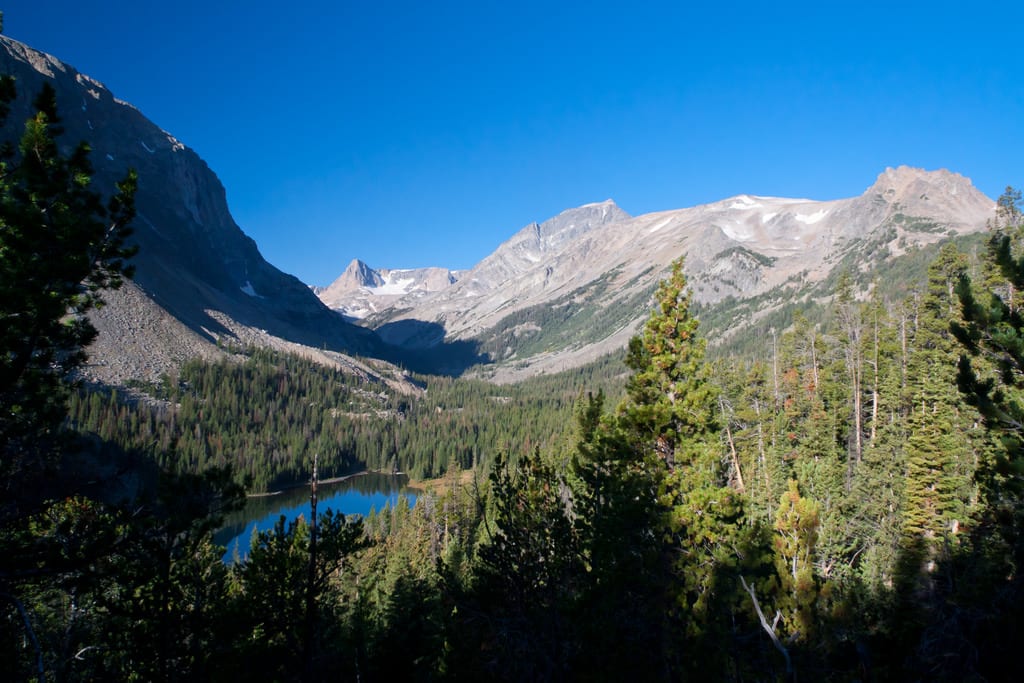
Starting Location: Keysers Ridge, MD
Ending Location: Cumberland, MD
Length: 90 miles
Best Season to Drive: All
See this drive on Google Maps
This scenic route traverses through the Western mountains of Maryland, making a sweeping loop to maximize the magnificent sights along the way. There’s something for everyone, from Backbone Mountain for serious hikers, to Wisp Ski Resort for downhill thrills. Travelers are encouraged to stretch their legs in the historic town of Oakland and learn more about the state’s coal mining history in either Lonaconing or Midland.